Covering an area of 6427 square kilometers, Zirkooh County is bounded on the north by Qasemabad and Sangan Districts of Khaf County, on the south by Qahestan District of Darmian Couny, on the west by Qayenat County and on the east by Afghanistan with approximately 116 km common border. It was separated from Qaenat County in the latest administrative divisions in 2011 and currently consists of Central District including Zirkooh and Petergan Rural Districts (city of Hajiabad as the center), Zohan District including Zohan and Afin rural districts (city of Zohan as the center) and the Shaskooh District including Shaskooh and Bohnabad rural districts (with Abiz village as the center of the district). The county's center is located within the longitude and latitude of 59o 58 E and 33o 37 N, respectively. It has a population of approximately 6000 people based on the results of 2011 census. The city of Hajiabad is located 85 km away from eastern Qaen, the center of Qaenat County and 185 km away from Birjand, the center of Southern Khorasan Province and its altitude is 980 m. The existence of Yazdan border market is regarded as one of the region's prosperity potentials.
Historical background
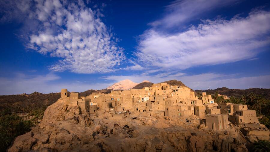
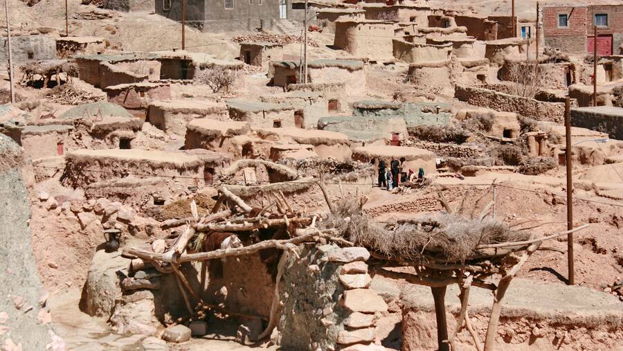
More than 20 Cultural heritages of the County have ever been registered in the National Heritage List, among them one can mention the following items: Afin's Great Mosque, Afin's Galeh-kuh, Afin's water mill, Zardan caravansary, Zardan Mountain's castle, Sardavan dam, Fakhran dam, Chahar Gonbad tomb (Emamzadeh Omar ibn Davood tomb), Tajnud's historical soil dam, Pahlavan cave, Akhund historical soil dam, Hasan Baykhan castle, Dokhtar Ahangaran castle, Dokhtar Chalunak castle (tomb), Abiz mountain's castle and so on.

.jpg)