Chalderan county is located in the northwest of West Azarbaijan province and has various names such as Qare Eyni, Siah Cheshmehh and Chalderan (the original name).
Siah Cheshmeh, the capital of Chalderan region, is one of the highest cities of Iran at the height of 194 meters above the sea level.
Chalderan is limited to Maku county from the north, Turkey border from the west and the Khoy county from the south and the distance between Siah Cheshmeh and Turkey’s border is about 24 km.
Siah Cheshmeh is located in the mountainous region and its climatic conditions are moderate and semi-humid. Heavy rainfall and snow occur in this region.
Chalderan consists of 2 districts named ”Markazi“,”Dashtak“, 2 cities as “Siah Cheshmeh“, “Avajigh” and 5 rural districts. Siah Cheshmeh rural districts include “Bah Bah Jik“, ”Southern Chalderan“, ”Northern Chalderan“.
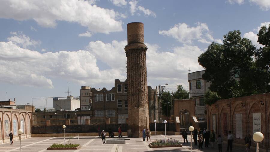
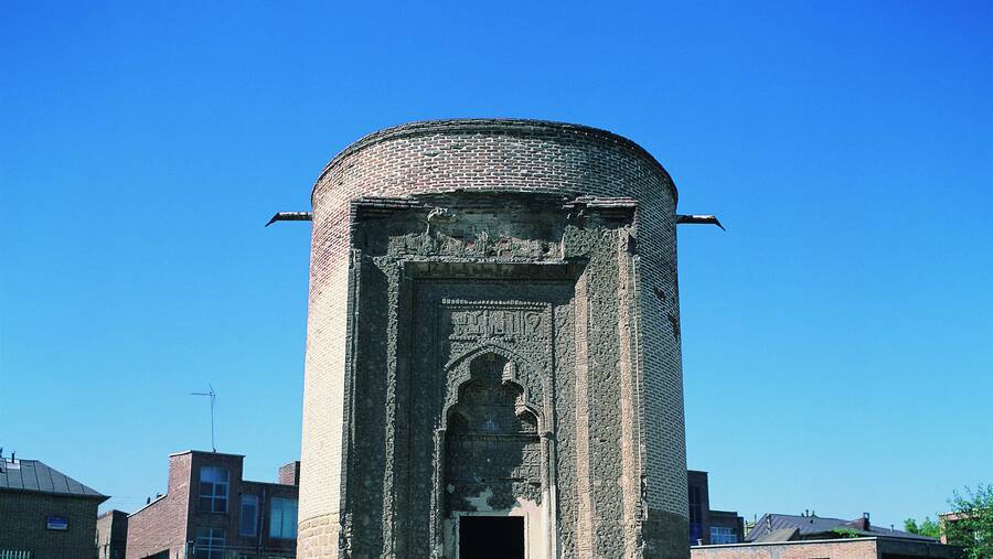
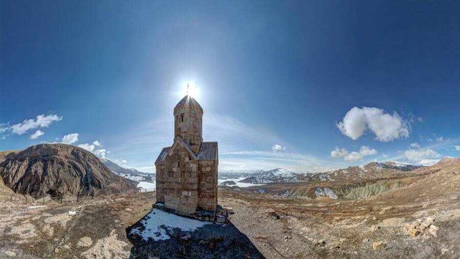
Chalderan is a summer region in which the nomads and tribes of the borders of Iran and Turkey use the rich grasslands. Barun dam, which is known to be Maku Dam is located at 20 km of the capital of this city. Qare Church, Sadr-aldin tomb – the minister of Shah Ismaeil, Dalik Dash village, Qashgha Belagh village and Gij Belagh are the monuments of this region.
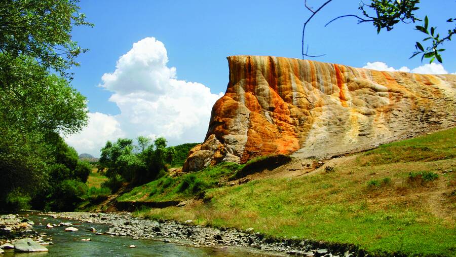
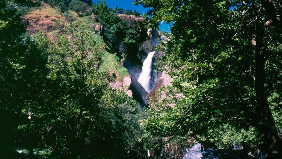
In addition to the universal monuments in this region, various lagoons and swamps, good weather valleys and hot water springs are the natural landscapes of this county.
The Chalderan industry is limited to handicrafts and small industrial workshops. Due to the border situation and strategic location of the region, Agriculture, livestock and trade constitute the city economy. The people of this region speak in Turki Azerbaijani and they are followers of the Twelver (Davazdah Imami) Shia and Shafei Sunni.
_0.jpg)
_0.jpg)