Located in about 100 km northeast of Kerman, Shahdad is linked to mountainous and cold region of Sirch from the southwest and desert regions from the northeast.
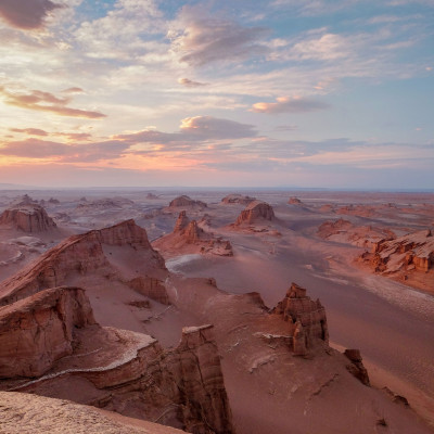
The current Shahdad is like a triangle its apex is inclined toward the Konaran valley and its base is located on the east side of Takab area; it ends up in the most important and exclusive parts of this desert area, i.e., Kaluts, which are parallel to the edge of Lut.
Khabis (the old name of Shahdad) with the height of 430 m above the sea level is known as one of the geothermal poles. Shahdad continual water is supplied from Derakhtangan River. Citrus fruits and dates are grown in gardens and grounds of the city.
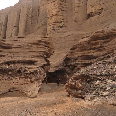
The sharp rise of air temperature in July has left an adverse impact on agriculture in the disadvantaged sections of Shahdad. Shahdad is one of the largest parts of Iran and most ancient parts of the Kerman province can be seen here from the fourth millennium BC to the contemporary Islamic periods, such as graveyards, castles, inns, etc. There are salt marshes in Shahdad desert, which we cannot find nowhere in the world like it. The world's oldest metal flag as a "flag of Shahdad" has been discovered in this area. Shahdad residents were believed to kinds of God in the past.
This area is one of the top destinations for foreign tourists, especially European tourists.