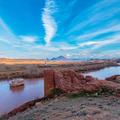
Jolfa is located in the northwestern of the province, at the height of 710 meters above the sea level and at the north of the Kiamki Dagh Mountain and the south region of Aras River.
This county is limited to Marand and Zaraghan from the south, the Kaleybar county from the east, the West Azerbaijan province from the west and the Republic of Azarbaijan and Armenia from the north.
The climatic condition of Jolfa is cold and semi-desert with warm summer and partly cold and moderate winter. Jolfa county consists 2 districts named “Siahrod”,”Markazi”, three cities “Jolfa”, ”Hadishahr“, ”Siahrod” and 5 rural districts.
Jolfa enjoys the commercial, political and specific world tourism importance by its unique historical monuments, strategic location and appropriate geography as well as its vicinity to the commercial and industrial free zone of Aras (one of the most important commercial centers in Iran).
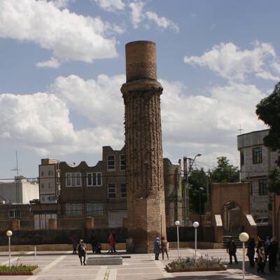
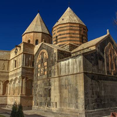
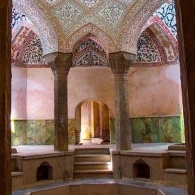
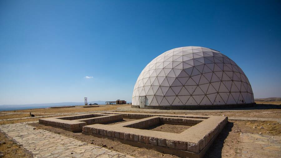
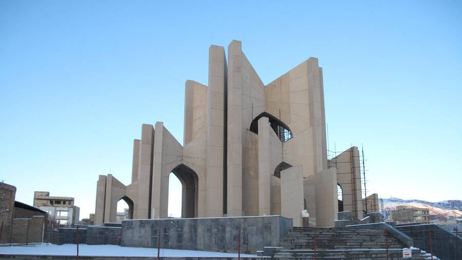
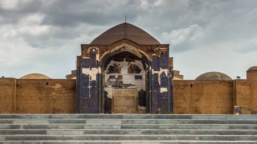
Seyed Abulghasem Nabati tomb, Duzal tower, Saint Stepanos monastery, Nane Maryam church, ruined mill, Ushtibin village, St.Mary church, Baba Yaghub shrine, Ali Beyg fort, Jolfa historical bath and etc., are the most significant monuments and tourism in this county.
Rich sources of water, grasslands and forest reserves and high potential of growth and industrialization, mineral, agriculture, livestock, services, scientific and training development have an important role in the economy of this region. This city has abundant cotton fields and the major activity of the people in this region is weaving.
Jolfa people are Azeri and they speak in Turki Azerbaijani in their own local dialect. Islam is their religion and they are followers of the Twelver (Davazdah Imami) Shia.
.JPG)
_0.jpg)