Nashtifan is located in the southeastern of Khaf, on the sidelines of Qaen road, 3 km of Taybad –Torbat Heydarieh, 8km southwest of Sangan with the height of 839 m above the sea level.
The climate of this city is warm and arid.
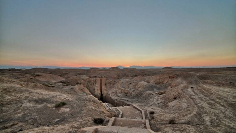
Nashtifan, on the fringe of lowlands that leads to the desert, is located in the gentle slope illuviation of "Cal Shur" and it is always exposed to the strong 120-day winds of Sistan because of the specific geographical location.
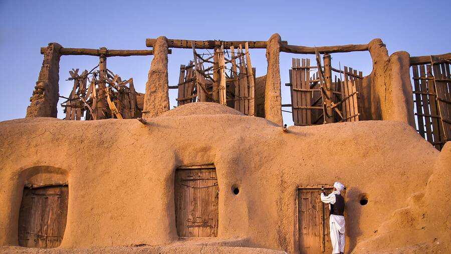
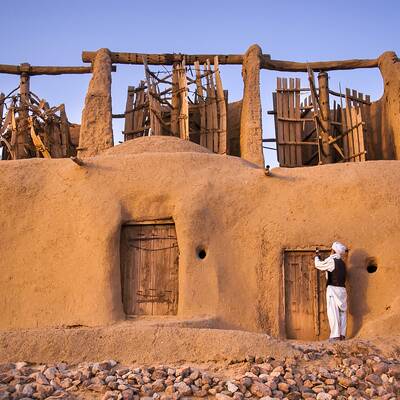
The world's largest adobe Asbads, related to the Safavid era, which had been constructed for the control of the wind and using it for wheat flour, have a valuable role in the livelihoods and lives of past peoples in this region.
The public service role of Nashtifan’s people (transport) versus the other sector functions (agriculture and industry) has a considerable impact on increase the income of people in this area.
The city is one of the major centers of plant production in the region and Iran, today; so that, the arboriculture is not only a prospered job but also it creates a green and fresh landscape.
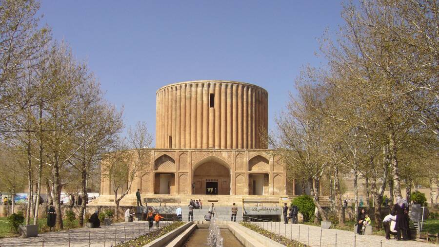
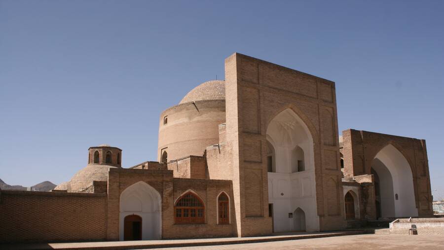
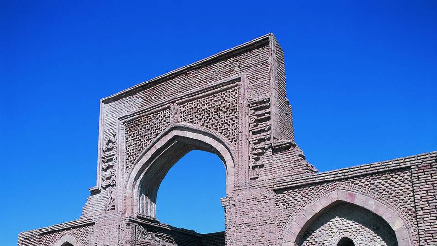
Historical and cultural monuments and traditional area of the city, local coverage, aqueducts and springs, rivers and seasonal waterfalls, constitutes the civilization of this area. Nashtifan people are follower of Sunni.