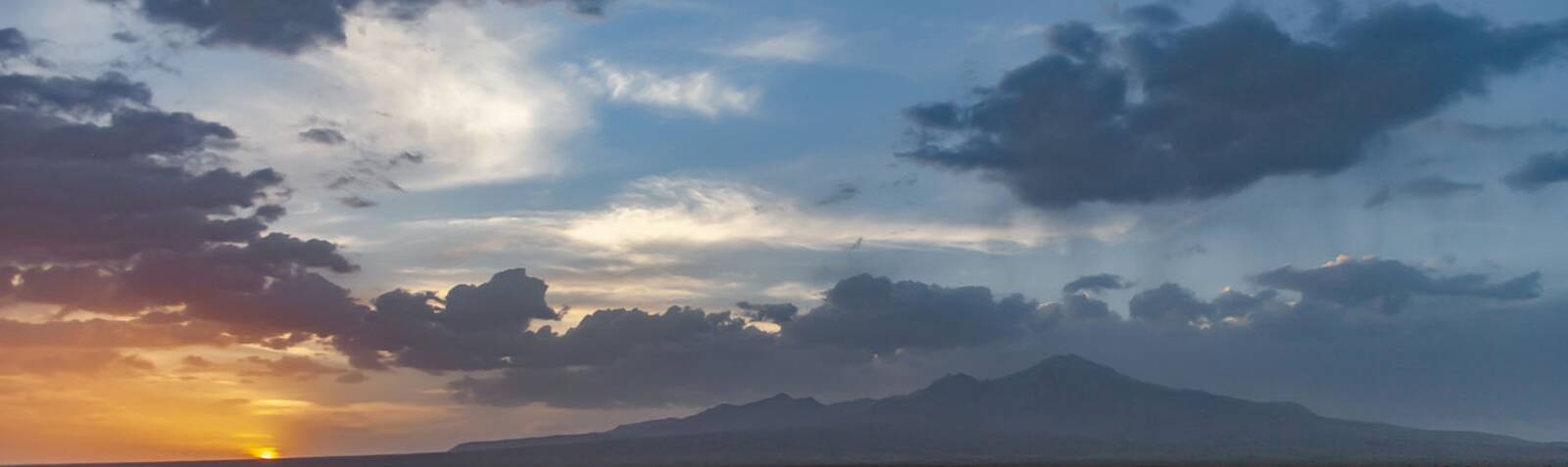
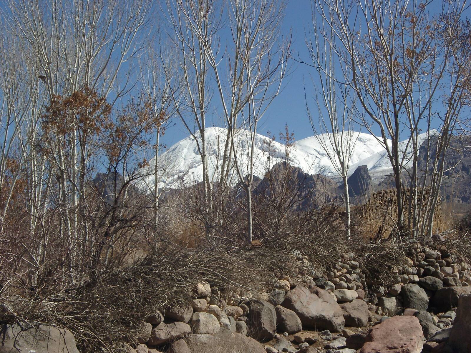
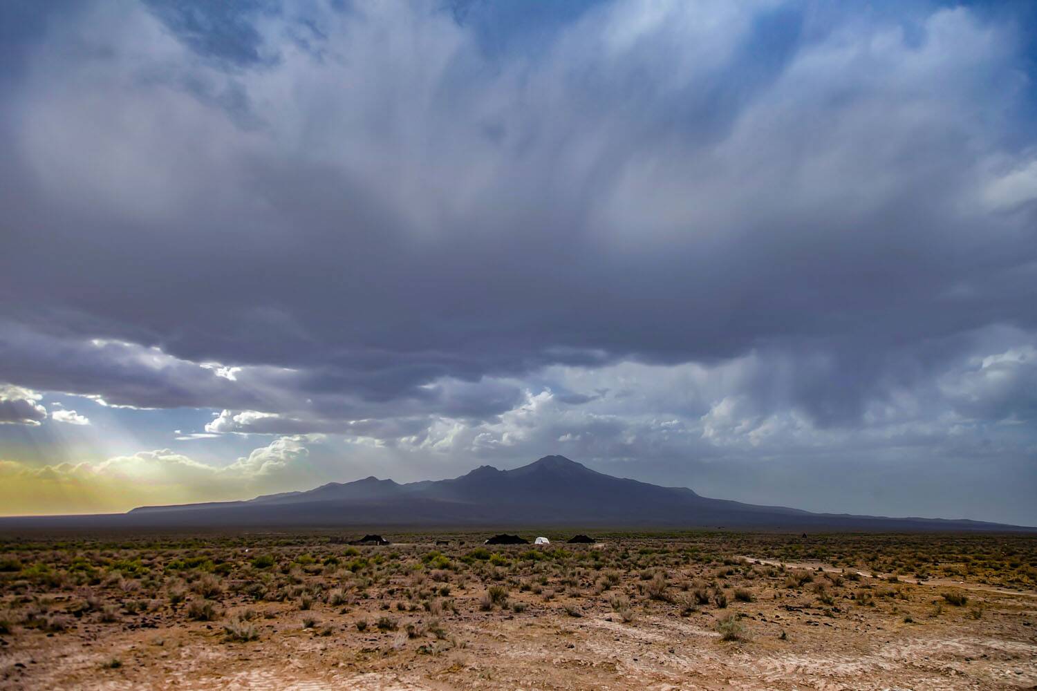
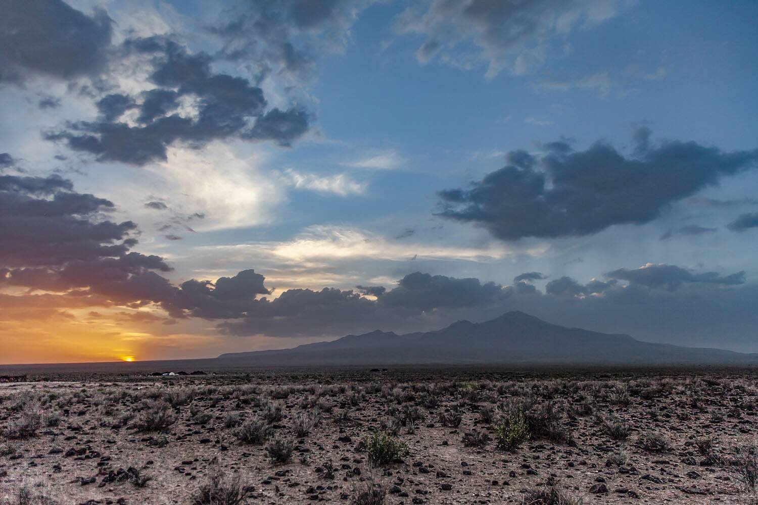
Taftan Mountain or Taftan Peak (Persian: کوه تفتان, [Taftân]) is a volcanic mountain located in the southeast of Iran, in Sistan and Baluchestan province and adjacent to Baluchestan in Khash city. The elevation of his mountain is reported more than 4,000 meters above sea level which has several summits.
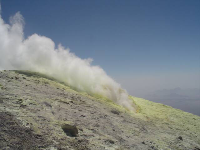
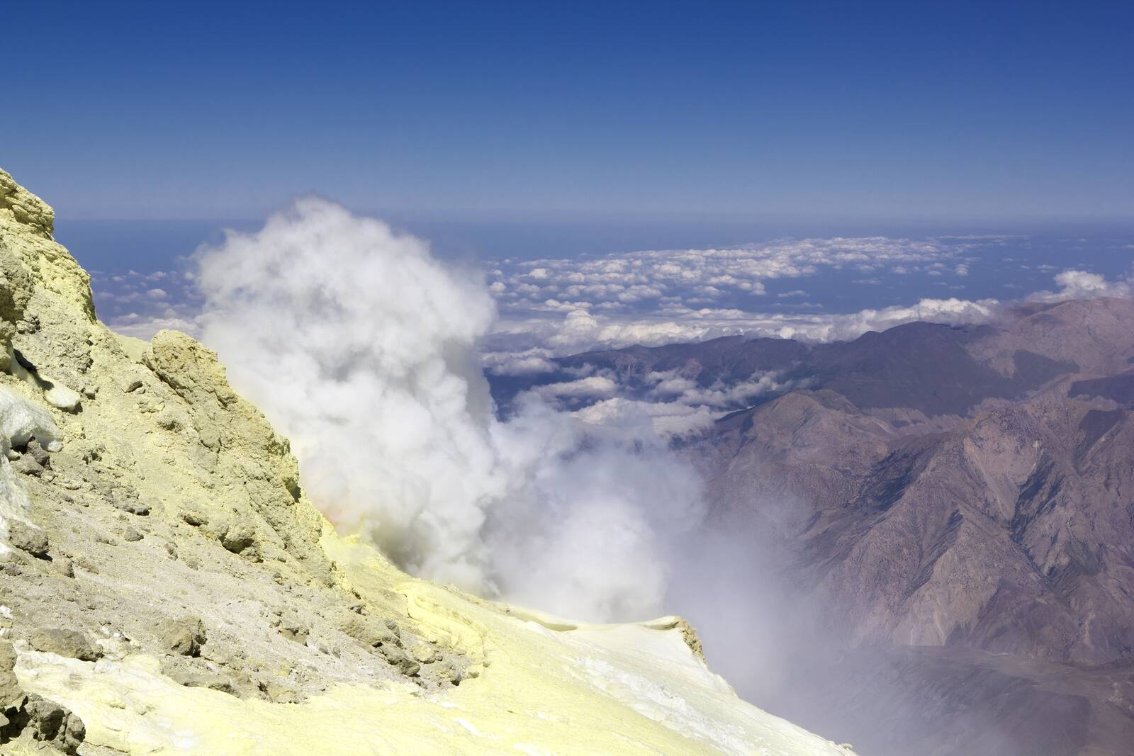
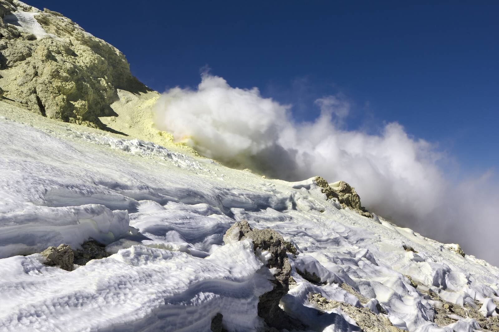
Taftan volcanic summit is called "Chehel Tan" which is located in the north of Makran Sea and is about 100 km away from Zahedan. It should be mentioned that sulfur vapor always comes out of the three volcanic craters of this mountain. Sulfur rocks can be seen at the entrances of volcanic craters. The principal Rock at Taftan Mountain is andesite.
To reach Taftan, you have to go to the north on the Zahedan-Khash road. After about 20 km, a large sign shows the access route to Taftan Peak. Then, you can reach the exit of "Tamandan" and "Koosheh" villages, after passing about 130 km. It is about 20 km away from the road to the crossing, which at the right you can see the sign shows the camp. After reaching the crossing, only 8 km is left until the camp.
There are three famous lakes in the heights of Taftan, among which you can see the "Darya Sar". The other two lakes are located in the northern part of Taftan and their water is shallow. Also, various rivers such as "Ladiz" and "Gazd" originate from this mountain.
Among the flora of the region, we can mention trees such as Almond and Tamarix, and vegetation such as thymes and rhubarb. Foxes, jackals, and wolves also constitute the area's fauna.
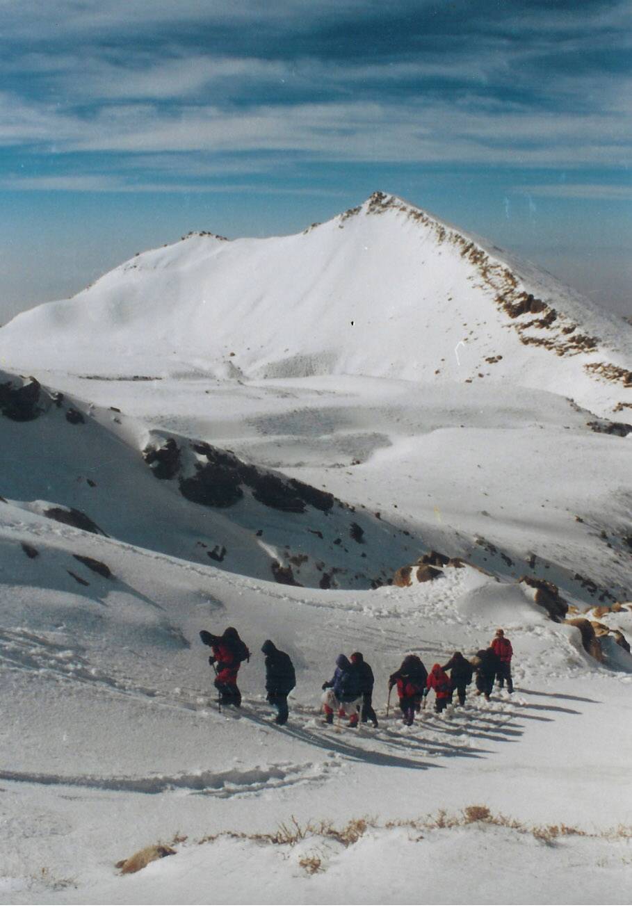
Due to the strong winds and cold weather in winter, it is generally very difficult to climb this peak. This means that although the normal route to the shelter takes 3 hours, it would take more than 8 hours during the winter.