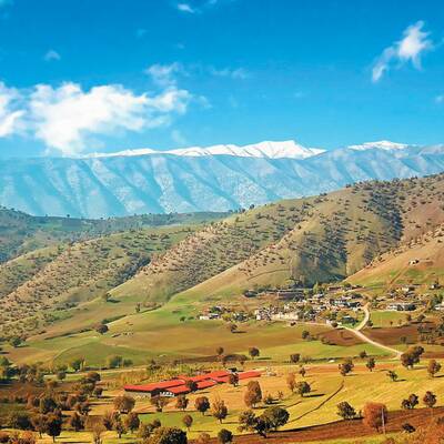
Harsin is located at 45 km southeastern of the province, in the main communication way of Khorram Abad- Kermanshah at the height of 1582 meters above the sea level.
This county is limited to Delfan County of Lorestan province from the south, Sahne County from the north, Kermanshah County from the west and Nahavand from the east.
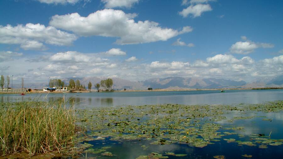
Harsin is a mountainous region in which low slope hillsides, wide valleys, alluvial plains and spring heads are the most important natural features. The climatic conditions of this city are partly cold in winter and warm in summer.
Harsin county consists of two districts named as ”Behistun“, ”Markazi”, two cities as “Harsin“ and “Behistun“ and four rural districts.
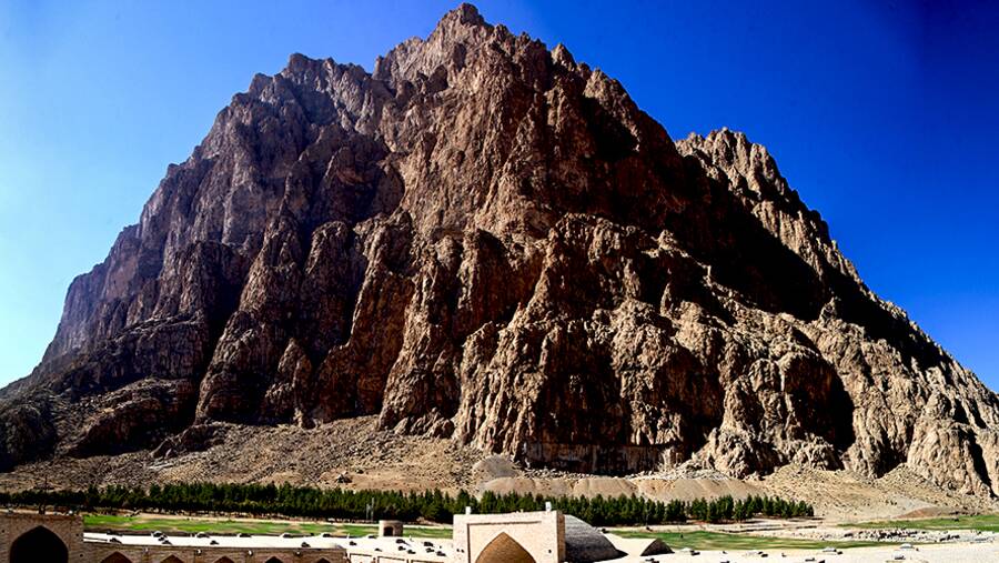
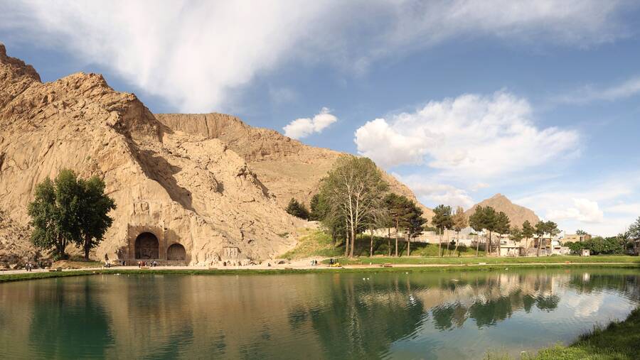
The initial core of this city has been formed around the spring head and the central square of the city (Harsin castle). Harsin has a national and international reputation by the remained monuments of the ancient area in Behistun.
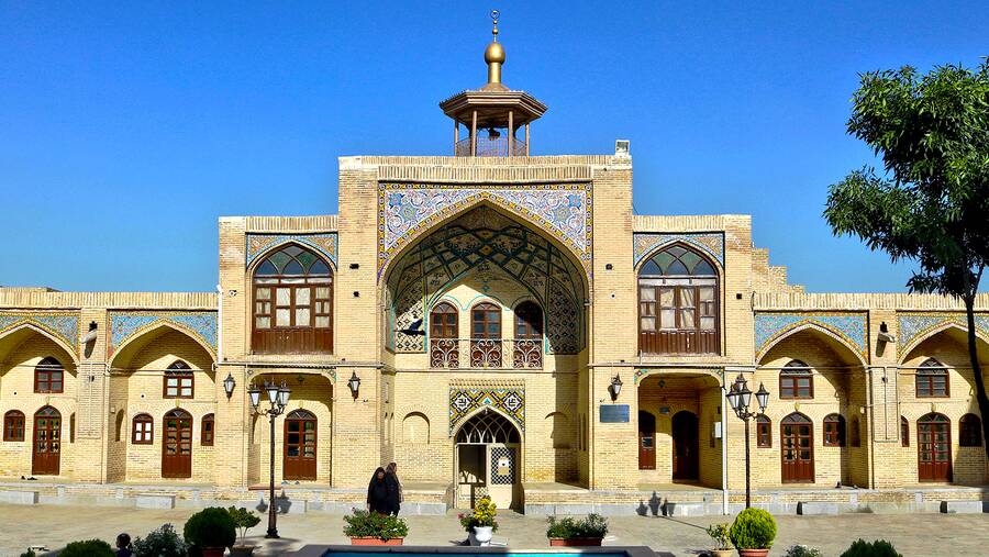
This region enjoys a certain importance in terms of the monuments and many natural attractions such as unique highlands of Behistun, Anar cave, Shahrbano cave, Imamzadeh Khalilullah in Cham Sar village, Noji Varan spring head, Chamchal ancient city and Sheikh Ali Khan caravanserai.
Handicrafts of this city such as Glim and carpet have a global reputation. Agriculture and livestock and export products constitute the economy of Harsin. Tourism industry and service activities are the other part of Harsin economy. The people of Harsin speak in the Kurdi language with different dialects of Laki. They are Muslims and the followers of Jafari Shia.
.jpg)

